
Florida Flood Watch: Affected Counties, Times and Safety Guide
Check the November 20 Florida flood watch areas, county coverage and expiration times, plus the drier South Florida outlook and road safety guidance.

Contents10
- Which Florida counties are under a flood watch?
- What is the latest South Florida flooding outlook?
- How much rain fell in Broward County?
- What does a flood watch mean in Florida?
- How do you check whether your Florida address is affected?
- Is it safe to drive through a flooded road?
- Why can flooding remain after the rain stops?
- What should households do while conditions improve?
- Does a Florida state of emergency mean evacuation?
- What should you check before sharing a Florida flood update?
Florida flood watches remain in effect for parts of the east-central and northeast state on November 20, 2026, while South Florida is turning much drier. NWS Melbourne lists a watch for Volusia, Seminole, Orange and Brevard until 7 p.m. EST Friday; NWS Jacksonville lists a watch covering parts of its northeast Florida area through Saturday afternoon. Alert status depends on location, not the statewide search trend.
The useful question is therefore more specific than "Is Florida under a flood watch?" Residents and visitors need to know which location an alert covers, when it expires, and whether the problem is additional rainfall, water remaining after earlier storms, river flooding, or coastal conditions. This guide separates those questions and explains how to read the answer for your own address.
Which Florida counties are under a flood watch?
Florida flood watch areas in the November 20 morning NWS messages include Volusia, Seminole, Orange and Brevard in east-central Florida, plus specified parts of Duval, Flagler, Clay, Putnam and St. Johns in the northeast. Coverage in the northeast is divided into forecast zones, so check your exact address rather than assuming every part of a county has identical conditions.
NWS office | Area named in the morning message | Listed watch timing |
|---|---|---|
Melbourne | Volusia, Seminole, Orange and Brevard | Until 7 p.m. EST Friday, November 20 |
Jacksonville | Specified zones in Duval, Flagler, Clay, Putnam and St. Johns | Through Saturday afternoon, November 21 |
These are the published morning messages, not a guarantee that every alert will remain unchanged until its scheduled end. A new warning, extension, or cancellation can supersede a watch. The drier forecast farther south should not be applied automatically to Orlando, the Space Coast, or northeast Florida.
What is the latest South Florida flooding outlook?
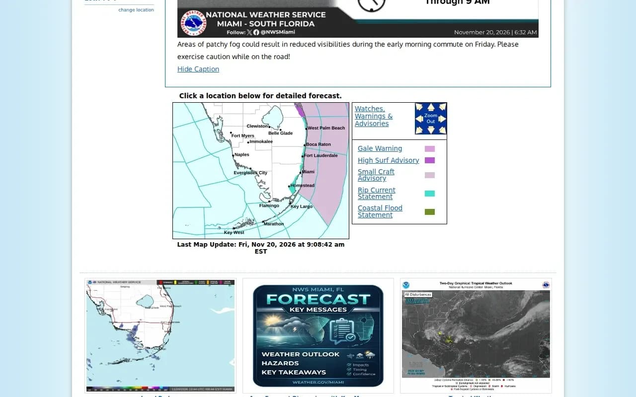
The latest South Florida outlook retrieved for this report calls for a substantial reduction in rain on Friday, November 20, following the earlier wet spell. NWS Miami describes a drier air mass and mostly dry conditions, with the greatest remaining shower chances in the northern portion of its area.
The same morning forecast discusses continuing marine and beach hazards, including dangerous rip currents. Those hazards are not interchangeable with inland flash flooding. A coastal statement, a small craft advisory, and a flood watch refer to different conditions and should not be collapsed into one statewide warning.
The official local forecast page below shows why timestamps matter: it presents current hazards and forecasts, rather than preserving yesterday's headline as though it were still the full picture.
How much rain fell in Broward County?
Broward County rainfall totals in the NWS statement for the 72 hours ending at 5 p.m. EST on November 19 show that some locations received exceptionally heavy rain. One reporting site two miles southeast of Plantation recorded 17.59 inches, while a site one mile north of Dania Beach recorded 17.41 inches.
Reporting location | Recorded rainfall | Observation window |
|---|---|---|
2 miles southeast of Plantation | 17.59 inches | 72-hour report ending November 19 |
1 mile north of Dania Beach | 17.41 inches | Same reporting period |
2 miles west of Lauderhill | 16.23 inches | Same reporting period |
These are measurements at particular reporting locations, not a uniform total for every home in those cities. They also describe rain that has already fallen. They should not be relabeled as the amount forecast to fall today. Keeping observed rainfall separate from a forecast avoids exaggerating the current outlook.
What does a flood watch mean in Florida?
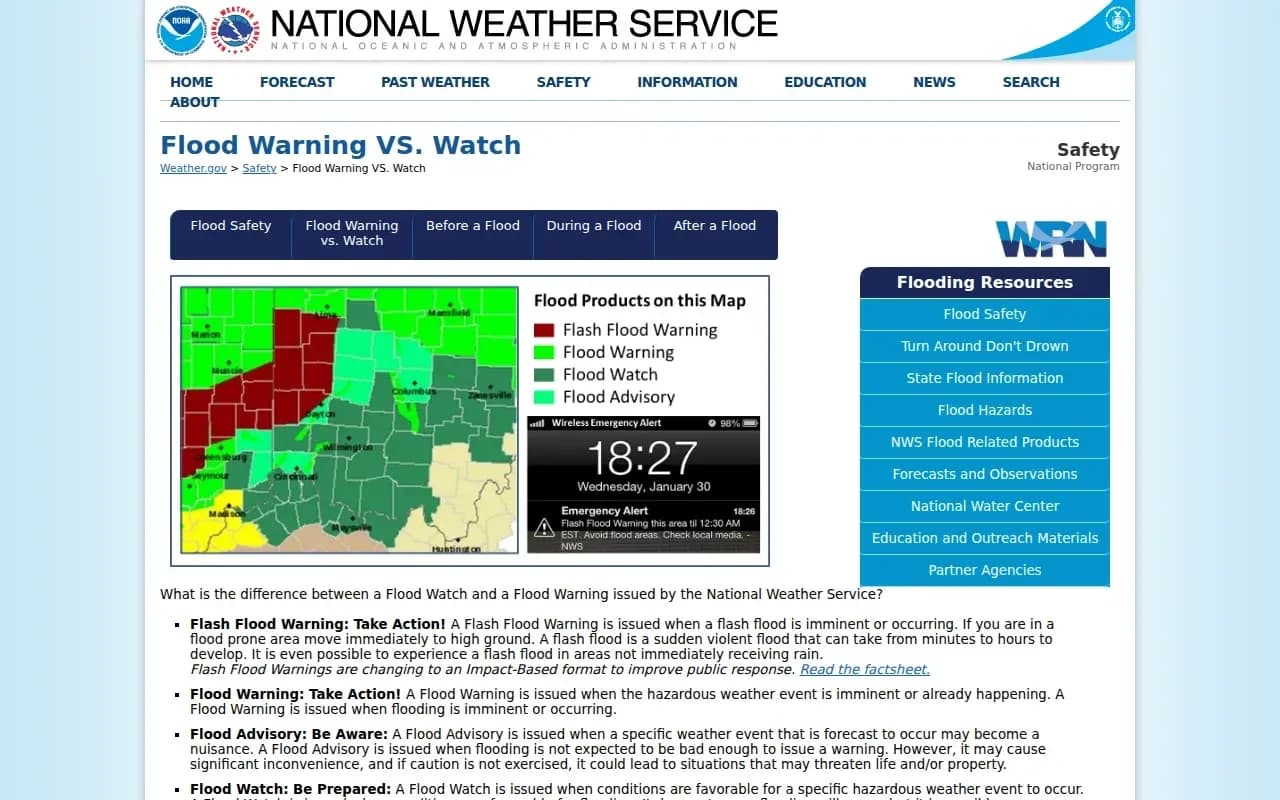
A flood watch in Florida means conditions could support flooding; it is a signal to prepare and monitor updates, rather than confirmation that flooding is occurring at every address inside the watch area. The National Weather Service uses warnings when flooding is occurring or expected imminently.
Alert | Meaning | Practical response |
|---|---|---|
Flood watch | Flooding is possible under the expected conditions | Review plans and monitor your location |
Flood warning | Flooding is occurring or imminent | Follow the warning's instructions |
Flash flood warning | Rapid flooding is occurring or imminent | Act immediately if you are in the affected area |
Flood advisory | Flooding may cause problems below warning criteria | Use caution and follow local information |
The NWS explanation below illustrates the difference between preparation and immediate action. Read the actual alert text as well as its label, because location and timing determine whether it applies to you.
How do you check whether your Florida address is affected?
To check whether your Florida address is affected by a flood watch or warning, use the local NWS forecast for the address and read each current alert's area and expiration time. A statewide search result is a starting point, not a substitute for that local check.
Enter your town or ZIP code on the weather service's local forecast page.
Open the current alert rather than relying on a colored map alone.
Read the counties, communities, or warning polygon named in the text.
Check the issue time and the expiration time.
Look for an updated or cancellation message before sharing an older notice.
A phone screenshot can remain in circulation after an alert expires. Save the time alongside the message if you need to pass it to relatives or coworkers. If your trip crosses county lines, check the destination and the route too; a dry starting point does not establish conditions along the whole journey.
Is it safe to drive through a flooded road?
Driving through a flooded road is unsafe because water can conceal depth, current, debris, and damage to the road surface. The National Weather Service advises turning around rather than entering floodwater or driving around a barricade.
A familiar route is not evidence that a water-covered section is safe today. A road that normally drains quickly can behave differently after prolonged rain. The presence of another vehicle ahead is not a reliable test either: its clearance, weight, path, and the water level may differ from yours.
Use an officially open alternative route when one is available.
Respect barriers even when a navigation app still suggests the road.
Avoid walking through floodwater to inspect a vehicle or retrieve belongings.
Check the operator's current notice before a rail, bus, or airport journey.
Rainfall totals cannot confirm which particular road is open. Transport operators and the authority managing the road are the appropriate places to verify operational changes. A closure notice should name the route, affected section, and current date.
Why can flooding remain after the rain stops?
Flooding can remain after rain stops because accumulated water still needs time to drain, and some locations receive runoff from elsewhere. A forecast for drier weather describes the incoming weather pattern; it does not certify that every low point or building is ready for normal use.
This distinction matters for visitors who see improving skies and assume all disruption has ended. Check access to the specific property, parking area, and route you intend to use. A hotel's general reservation status does not answer whether its parking entrance or your planned approach is currently passable.
What should households do while conditions improve?
Households dealing with Florida flooding should continue following local instructions and avoid electrical or water hazards even as the forecast improves. Do not enter a water-covered room if electrical outlets or cords may be submerged.
Keep essential medication, identification, chargers, and a way to receive alerts accessible. If local authorities direct an evacuation, follow the specified route and timing. People who need assistance with transport should arrange it early rather than waiting until a normal route is blocked.
For a property affected by water, document conditions from a safe location and contact the relevant property manager or insurer about the next steps. Photographing damage should never require entering unsafe water or a building that has not been cleared for access.
Does a Florida state of emergency mean evacuation?
A Florida state of emergency does not by itself mean every resident must evacuate. A declaration and a location-specific evacuation order are different official actions, and neither should be inferred solely from a trending search phrase.
For an evacuation decision, read the actual instruction from the county or municipality responsible for your location. For schools, check the district's current dated announcement. For a booked journey, check the carrier. Those separate checks are more useful than a single statewide list that mixes expired alerts, administrative declarations, and service changes.
What should you check before sharing a Florida flood update?
Before sharing a Florida flood update, confirm its location, timestamp, and type of information: an observation, forecast, warning, or operational notice. Those four categories answer different questions.
The current South Florida picture includes heavy rainfall already recorded and a substantially drier forecast for November 20. Both facts can be true at the same time. The best update gives readers that context, points them toward their local alert, and avoids presenting yesterday's forecast rainfall as new rain still to come.
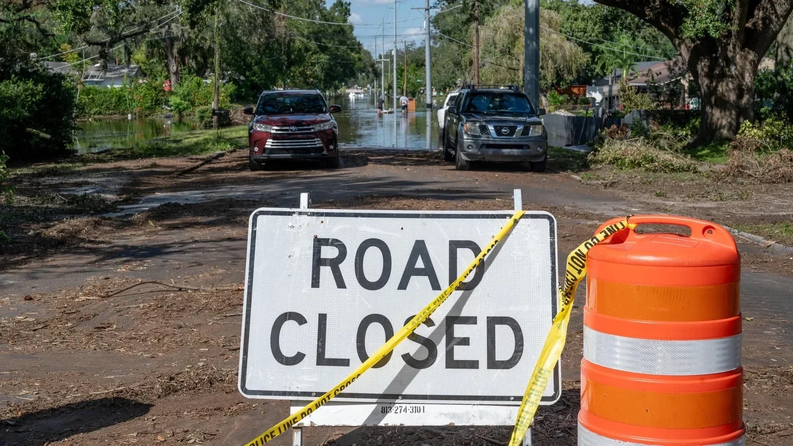
The cover is an archival photograph by Liz Roll for FEMA, showing a closed flooded street in Tampa on October 11, 2024, after Hurricane Milton. The alert information and forecast discussed here concern November 2026.
Best of the week — in your inbox
No spam. Only top Gosta stories. Unsubscribe in one click.
Comments